
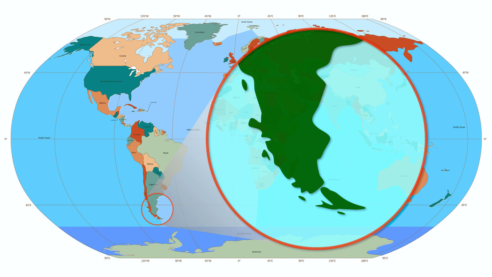
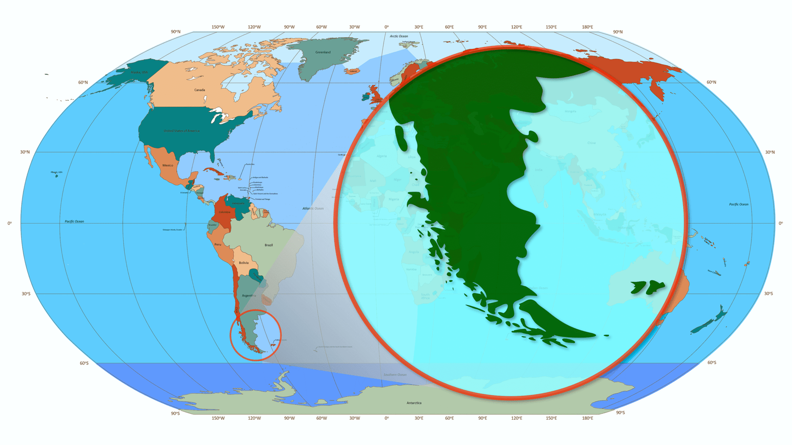
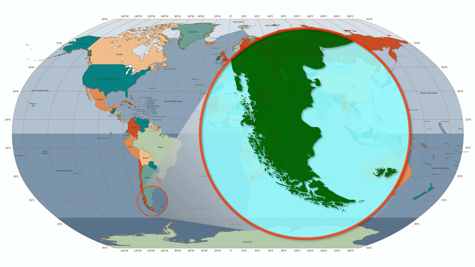
| General properties | |
|---|---|
| Slide size | 16:9 widescreen |
| Projection | Robinson (slightly modified) |
| Format | 100% vector-based graphics |
| Editability | Fully editable elements |
| Layer management | All layers are organized on a single slide. You can toggle visibility in the Selection Pane to customize the map view |
| Object naming | Each object is clearly labeled for easy identification and navigation |
| Quick start guide | Comes with a concise instruction sheet to help you begin using the map immediately |
Layer Structure
Vector Layer
| Low Details | Normal Details | High Details | |
|---|---|---|---|
| Capitals |  156 objects | 164 objects | 165 objects |
| Temperature Records | | | |
| The deepest points in the world’s oceans | | | |
| The highest peaks of each continent (“Seven summits”) | | | |
| Lakes | as one object | 17 objects | 35 objects |
| World forest cover | | ||
| Countries and territories | 164 objects | 194 objects | 248 objects |
| 5 Continents (w/o Antarctica) | | | |
| Whole World | | | |
| Graticule 45° | | | |
| 5 Oceans | | | |
| World Ocean | | | |
| Rivers | 226 objects | 226 objects | |
| Main Deserts of the World | one object | ||
| Forest and woodland | | | |
| Mountain Ranges | 27 as one objects | 27 objects | |
| Relief Map of the World | | | |
| 6 Continents (Eurasia) | | | |
| Graticule 30° | | | |
| Deepest oceanic trenches | 13 as one objects | 13 objects | |
| Annual mean temperature | | ||
| Temperature records of the continents | | ||
| Roads | | ||
| Rail Network | | ||
| The Main Deserts of the World and their Types | 28 objects | ||
| Categories of wood of the world’s forests | | ||
| Forest types of the world | | ||
| 5 Major Circles of Latitude | | ||
| 7 Continents | | ||
| 6 Continents (America) | | ||
| 4 Continents (Afro-Eurasia) | | ||
| Graticule 20° | | ||
| Graticule 15° | | ||
| Graticule 10° | | ||
| 7 Oceans, Seas, Gulfs, Straits | | ||
| 7 Oceans | | ||
| 4 Oceans | | ||
| 3 Oceans | | ||
| Total Vector layers | 12 | 19 | 36 |
Text Layers
| Low Details | Normal Details | High Details | |
|---|---|---|---|
| Capitals | | | |
| Temperature Records | | | |
| The highest peaks of each continent (“Seven summits”) | | | |
| Countries and territories | | | |
| 5 Continents (w/o Antarctica) | | | |
| The deepest points in the world’s oceans | | | |
| 5 Oceans | | | |
| Graticule 45° | | | |
| Mountain Ranges | | | |
| Lakes | | | |
| Rivers | | | |
| Deepest oceanic trenches | | | |
| Graticule 30° | | | |
| 6 Continents (Eurasia) | | | |
| Temperature records of the continents | | ||
| Main Deserts of the World | | ||
| Countries and territories (ISO 3166) | | ||
| 5 Major Circles of Latitude | | ||
| Graticule 20° | | ||
| Graticule 15° | | ||
| Graticule 10° | | ||
| 7 Continents | | ||
| 6 Continents (America) | | ||
| 4 Continents (Afro-Eurasia) | | ||
| 7 Oceans, Seas, Gulfs, Straits | | ||
| 7 Oceans | | ||
| 4 Oceans | | ||
| 3 Oceans | | ||
| Total Text layers | 8 | 14 | 28 |
| Total layers | 20 | 33 | 64 |
Built-in Color Schemes
| Low Details | Normal Details | High Details | |
|---|---|---|---|
| Sequential | 2 | 5 | 14 |
| Diverging | 3 | 5 | 14 |
| Qualitative | 2 | 5 | 8 |
| Total Built-in Color Schemes | 7 | 15 | 36 |